
(click pictures to enlarge)
(all pictures, except 4, were taken with Nokia Lumia 929 Cell Phone)
I left the campground in Redmond on Sunday morning and headed south about 150 miles to the town of Klamath Falls, Oregon. I looked into staying at a couple campgrounds before Klamath Falls, but they were still closed for the winter with plans to open on May 1st. But that was OK, Klamath Falls was still only about 40 miles from Crater Lake plus it was a pretty good sized city (Taco Bell and Walmart size). I also went up in elevation another 1,000 feet. I'm now at 4,100 feet and can tell the difference when I'm walking or doing anything physical. Wait a minute, I now have a good excuse not to do anything I don't want to do and blame it on the elevation. That won't work because when traveling alone, if I don't do it, it don't get done.
 |
| The road to Klamath Falls from Redmond looked somewhat like Northwest Louisiana with the pine trees along the roadway. Of course, mountains in the distance is a dead give-a-way that you ain't in Louisiana. |
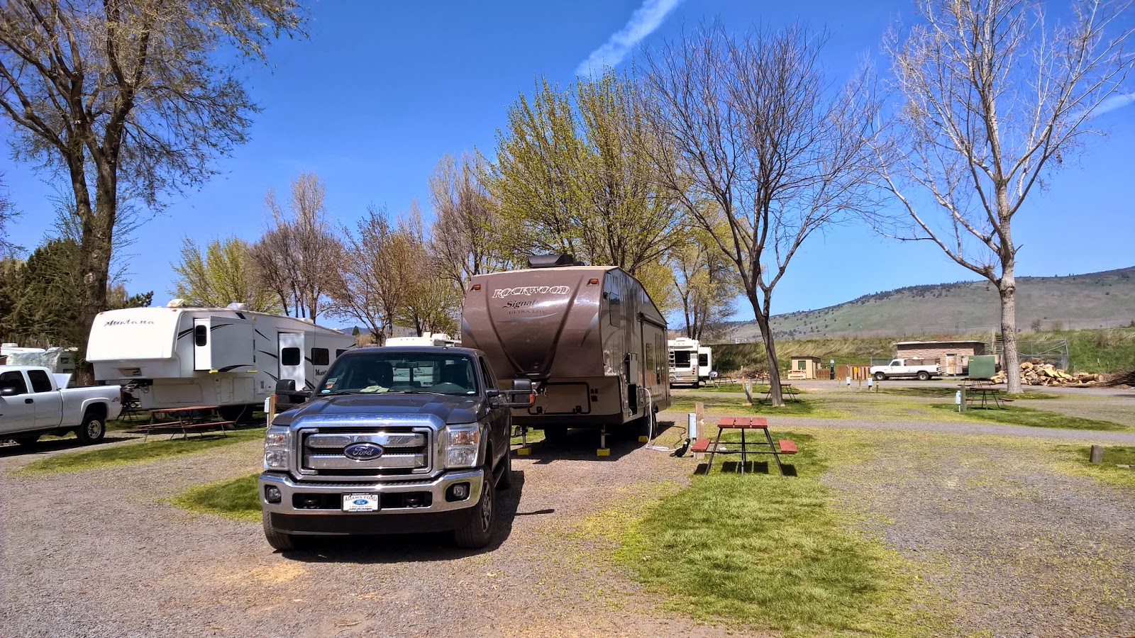 |
| Nice pull-thru campsite. Although a little more expensive than other campgrounds, KOA's are usually reliable and roomy. |
When I left Louisiana after last Thanksgiving, I needed another long range destination and that was Crater Lake, Oregon. Again, it was an around-a-bout way, but it was always out there in the distance. I thought I would be able to visit it after my stay in Crescent City, California, but a storm blew in and dumped lots of snow in the mountains. I skipped Crater Lake with plans to hit it later and continued north up the Oregon coast to the Columbia River. I followed the river upstream for while and was tempted to continue east into Idaho but that would have meant blowing off a visit to Crater Lake. So, after getting to the east side of the Cascade Mountains, I headed south and hoped the weather would be good when I got within exploration distance of the lake. During the month of April, Crater Lake is only visible 20% of the time. The rest of the time it is socked in with clouds.
The weather was clear enough yesterday for me to head to the lake. I could tell it was going to be a little hazy but it would have to do.
 |
| There is a long flat valley between Klamath Falls and starting the climb to the lake. I didn't see any crops or cattle in the fields. I'm not sure what they are used for. |
 |
| The south entrance is the only one open during the winter. The park was created in 1902. |
Crater Lake was formed about 8,000 years ago when the Stratovolcano that made up Mount Mazama erupted and blew about 4,000 feet of the mountain top off. After the lava left, the remainder of the mountain caved in on itself creating the caldera which filled with water after centuries of rain and snow. At 1,943 feet deep, Crater Lake is the deepest lake in the U.S. There aren't any streams or springs feeding the lake and it is pretty much in balance with the amount of evaporation equaling the amount of rainfall/snow in a year. Without any outside source of water except from the sky, the water has very little pollutants thereby giving it its deep blue color and crystal clear water. It is a much brighter blue in the summer time but it was blue enough for me.
 |
| One of the valleys running alongside the road to the lake. |
 |
| No one has had a picnic there in a while |
 |
| This valley was filled with pumice and ash during the big eruption. The pointy pinnacles on the right bank are "fossilized steam vents". When the valley filled with the superheated material from the eruption, the water in the valley was trapped in the bottom. Due to the heat, it turned to steam and found its way to the surface through vents. The steam was rich in minerals and as it passed through the vents it "welded" the sides into a solid mass. After a thousand years of erosion, the solid welded vents remain as the pinnacles in this picture. |
 |
| The road was clear with no ice, however there were places were snowed was banked up about 3 feet high on the sides. Crater Lakes receives an average annual snowfall of 43 feet. Notice the pole alongside the road. They mark the edge of the road and are used by the snow removal crews. |
 |
| This is the Administration Building and is located right before you begin the final climb. Notice the poles outlining the parking area. |
 |
| This was my first view as I walked up the edge. It is really breathtaking. Definitely an out-loud "Wow", followed by silence and awe. The lake was so calm, the reflections were perfect. |
 |
| The island in the lake is actually a Cinder Cone Volcano that formed quite a while after the initial eruption created the caldera. It is named Wizard Island because it resembles a wizards hat while the old name for the caldera used to be the Witches Cauldron. |
 |
| Close up of Wizard Island. Taken with the fancy camera and the long range lens. |
 |
| More pictures with a greyish tint (reason unknown) |
 |
| More pictures |
 |
| More |
 |
| There is a helicopter and two bodies at the bottom of the lake. It was flying inside the caldera in 1995 when it suddenly hit the water and sank. Witnesses said there was no change in engine noise, so engine trouble was ruled out. The best explanation for the wreck was the pilot got confused by the reflections in the water and couldn't tell the difference between sky and water. He flew into the water thinking he was flying out of the caldera. Although the helicopter and bodies could be retrieved, the families of both men agreed that the bottom of Crater Lake would be a nice place to spend eternity. |
 |
| Showing the reflections with the zoom lens |
 |
| Where the two lines meet, creating the angle, that is the shoreline. I'm not sure of the name of the flat top mountain in the background, but it must have been another volcano that blew it's top off in the past. (taken with the fancy camera) |
 |
| More reflections taken with the fancy camera. Snowcapped peaks in the background. |
 |
| One of the Panoramic View from my cell phone |
 |
| The Panorama option on my cell phones works easily and makes a pretty good picture. |
 |
| My last view as I turned and headed to the parking lot. |
 |
| I haven't taken a selfie in a while so I thought Crater Lake would be a good spot for one. |
 |
| I must have missed the sign when I was coming up the mountain. |
Tomorrow is moving day and I'm thinking about heading farther south towards Reno, Nevada. I like to have dramatic changes sometimes and going from the peace of Crater Lake to casino town like Reno would definitely be a dramatic change. But, as always, plans my change.
Ya'll take care of each other. I'll Cya down the road.
Great pictures! I can't wait to see it this summer.
ReplyDeleteIdaho is a "don't miss" state!!! Enjoyed your Crater lake photos -- Absolutely beautiful!!
ReplyDeleteJenny, Idaho will be later, after it warms up a bit
Delete