Saturday, April 18, 2015

A Waterfall, A Stream and 3 Cold Sisters

Location: Descutes County RV Park (el 3,000 ft); Redmond, Oregon

(click pictures to enlarge)
(all pictures taken with Nokia Lumia 929 Cell Phone)

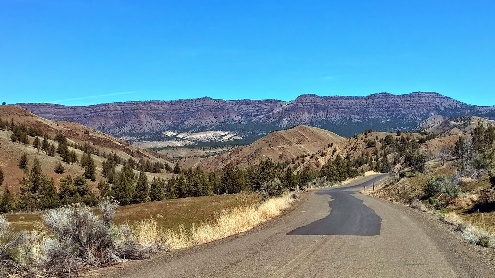
I headed out yesterday morning and drove towards the three sisters. There was a couple of waterfalls I had heard about over in that direction and wanted to see for myself. 
The tallest mountains are the Three Sisters. All three are Stratovolcanoes. The one on the right is called North Sister and she is the oldest. The other two are called Middle Sister and South Sister. 

Almost all of the Cascade Range is made up of volcanoes or the remnant of older, extinct ones. Not all of them look like the Three Sisters which are stratovolcanoes. There are three types of volcanoes; stratovolcanoes, shield volcanoes and cinder cone volcanoes. The strato's are the highest and most explosive. Mount St. Helen's was a Stratovolcano and we all saw what happened when it got mad. The other two volcanoes produce lots of lava but is not as explosive. Supposedly, these and other volcanoes are located at points where one continental plates is being "subducted" (going under) another continental plate. Extinct volcanoes are where the junction of the plate has moved. 

The main reason for my day trip was to see Sahalie and Koosah Waterfalls. 
Sahalie Waterfall

Following the water downstream to the next waterfall

The path alongside the stream

Mini-waterfalls along the way

If you fall into these cold and rapid waters, you're in trouble.

The beginning of Koosah Waterfall

The larger and deeper part is still downstream but I couldn't find a good spot to get a picture.

Bingo!!!!... A "thinking bench" in the middle of the woods. :)
The waterfalls and stream was well worth the trip. The walking distance between the two falls is about 1/2 miles with a pretty good elevation drop. Someone has built many stairs along the path. It was a good trip.

Tomorrow is moving day. I'll be heading farther south, close to Klamath Falls. The weather on Monday seems to be right for a trip to Crater Lake. We will see. 

Ya'll take care of each other. I'll Cya down the road.


Friday, April 17, 2015

Painted Hills in the John Day Fossil Bed area

Location: Descutes County RV Park (el. 3,000 ft); Redmond, Oregon

(click pictures to enlarge)
(all pictures taken with Nokia Lumia 929 Cell Phone)

Yesterday was a day trip of about 120 miles, round trip, to the Painted Hills portion of the John Day Fossil Beds. John Day was a fur trapper that got lost and robbed by Indians near the mouth of the river that bears his name today. I've read a lot of the information on this area and some of it makes sense while other parts of it are still trying to sink into my head. I won't go into a long dissertation and will just briefly outline some of the opinions, that somehow tend to become facts over time.

The short story goes, about 40 million years ago, this area of Oregon was a coastal type forest. The mountains between here and the coast had yet to form so this area was on the Pacific Coast. Plants and animals were everywhere. A few million years later, the Cascade Mountains were formed which blocked much of the rain from reaching this area, just as they do today. This lack of rain slowly turned the area into a more arid landscape. During and after the formation of the Cascades, many volcanoes associated with it erupted repeatedly for a very long time. They spewed ash and minerals into the air. The prevailing easterly winds blew the ash to where it fell to the ground in what is now the John Day Fossil Beds. The ash covered plants and dead animals with ash, sometimes 100's of feet deep, thereby persevering them as fossils to be found today. That is about as short as I can make the story. 

Whatever happened, the colorful hills are very pretty and pictures just doesn't capture their truly awe-inspiring beauty. The pictures include those of the trip to John Day as well.

I stopped at this pull-off of the highway that was overlooking a large mountain lake. It was a great view while I enjoyed my nutritious bologna sandwich and Frito's. :) 

This and the next couple pictures show the change in country from Redmond up to and through the Ochoco National Forest area. Ochoco was rocked last year by a major forest fire, but from what I saw it is recovering quickly.

More of the changes

A few more changes with snow in the background

There are still fertile areas for crops and cattle even though the countryside is becoming more arid.


The road into the Painted Hills area. There were only a couple other people in the park area. It was very secluded and quiet.

The first "painted" hill. The different color are a result of the different minerals in the soils. This is the same as when I visited the Pictured Rocks in Lake Superior last year.

More Painted Hills

This was the office for the National Forest Ranger, but it was locked up tight. The bathrooms were open though.

More Painted Hills

And more

Just about to the end

I found a nice bench to sit and see most all of the park. No one was around and it was so quiet you could hear your own heart beating. The weather was perfect at 60 degrees, no breeze, and mostly clear sky. 

I saw this guy as I was heading to the park. He made it this far by the time I was leaving the park. The guy is in the front is pulling a "rickshaw" type wagon. I'm not sure why the car stopped unless he thought the guy needed help. 

Ya'll take care of each other. I'll Cya down the road.

Thursday, April 16, 2015

A Change in Landscape on Moving Day


Location: Deschutes County RV Park (El 3,000 ft); Redmond, Oregon

(click pictures to enlarge)
(all pictures taken with Nokia Lumia 929 Cell Phone)

One of the good things about traveling around like I do, is that I can dramatically change the scenery and landscape in just a few hours. I did that yesterday when I moved to a new campground. For the last several weeks, I've been camped in different campgrounds, but they all had one thing in common. That thing was lots of trees that blocked most of the sunlight from reaching the ground thereby causing most things to stay in a constant state of dampness. Don't get me wrong, I'm not complaining, just stating a fact. Yesterday was a time for change.
This was the campground at Ainsworth with all the trees.

There was an elderly Asian couple that camped in this car every night while I was here. They were well dressed and would leave the campground about 9:00 am each morning and get back just after dark. I never had the opportunity to get their story, but I'm sure it would have been an interesting one.
Moving day was about 160 miles with only one missed turn on my part. I thought it was to be an easy trip, so I didn't use the GPS. They need to make bigger signs. The first 50 miles or so was along the Columbia River which is one of the best rivers I've seen. Most of the rivers in the eastern part of the U.S. are muddy due to receiving runoff from farmland and lowlands. The Columbia however starts in mountains and even though there are adjacent farmlands in places, there aren't enough to significantly change the quality of the water in the river.
The beautiful Columbia River :)

I turned south on U.S. 197 and there was an immediate change in landscape. It had gone from the shear cliffs of the Cascades to the rolling hills at the beginning of the high desert of the central Oregon. Oregon can basically be carved up in 5 areas that run north and south. The first is the coastal area, next is the coastal mountains, next is a valley where I-5 connects the major cities of the state including it's capital, next is the snow capped Cascade Mountains, next is where I'm at now which is the high desert with an elevation of 3,000+ feet. This was the dramatic change I was looking for; from heavy trees to high desert. 
Some of the rolling hills looked like fertile farmland but latter on it turned more to cattle country.

There was very little traffic on the highway for most of the way. Notice the road curving in the distance

The mountains in the distance looked good in contrast to the roadsides, but they were too far to make a decent picture through the windshield.

One of many snow capped mountains.

It is a big wide open area.

I thought this was interesting. It is what we would call a "pull post" for the fence. They make a circle of the fence then fill it with rocks to create a gravity anchor point. Neat.

Another snow capped mountain. 

A few more snow capped mountains. Now that I'm to the east of them, I'm hoping to catch a nice setting sun over the mountains.

Campsite with no trees and concrete slab. :)


I'm not sure what I will be seeing around here, but am thinking about driving to see the John Day Fossil Beds at Painted Hills. There is a public golf course next to the campground and I may even play a round if things work out. The city of Redmond is pretty good sized with a wide assortment of restaurants to chose from, including the fine dining experience of Taco Bell. I chose this campground for it openness as well as the concrete pads. I need to get under Liberty to do some lubrication maintenance on the main slide and laying on concrete is always better than laying in mud. The cost of the campground is higher than some other places, but it has it's advantages and worth the difference for me at this time. 

Ya'll take care of each other. I'll Cya down the road.

Tuesday, April 14, 2015

The Remarkable Sacagawea, a Dog and Bonneville Dam

Location: Ainsworth State Park (El. 100 ft); Cascades Lock, Oregon

(click pictures to enlarge)
(all pictures taken with Nokia Lumia 929 Cell Phone)

It has been raining on and off with wintry mix thrown in just to keep things interesting. The cold front passed through in the early afternoon and the temperature should drop to the lower 40's/upper 30's tonight. Tomorrow is moving day with hopes of getting to a dryer and warmer climate. The move will be to a town called Redmond, Oregon located between the Cascade Mountains and the high desert of the Central Oregon. The weather forecast calls for a low in the mid 20's there on Wednesday night but then much warmer for days afterwards. I will be there for 3 or 4 days before heading farther south. I'm still hoping to be able to see Crater Lake before leaving Oregon.

I was able to see a few things in between showers late yesterday evening and then again today when I went into town to gas up for tomorrows trip. There are a few nice statues in the Marine Park located in Cascades Lock. The first one is of a cougar entitled "Silent Descent".

Silent Descent

The other statue is of Sacagawea and Seaman. I have seen several representations of Sacagawea at different towns on my trips but the one at this park is the best so far. 

Sacagawea was born the daughter of a Shoshone Chief but was kidnapped when she was about 10 years old by the rival Indian tribe of Hidatsa. The Shosone lived in the area of the Bitter Root Mountains in what is now Idaho and the Hidatsa lived in the upper Missouri River area of present day North Dakota/South Dakota. After being kidnapped she was later sold to a French Canadian trapper who she ended up marrying. His name was Toussaint Charbonneau. Sacagawea was in her late teens when she gave birth to her son John-Baptiste. He was born about the same time that Lewis and Clark and their Corps of Discovery was passing through the Hidatsa territory and their friendly neighbors the Mandans. They were in need of an interpreter to accompany them on their trip to the west coast and wanted to hire Charbonneau. Charbonneau agreed but stipulated that his wife, Sacagawea, and their son would also go along. John-Baptiste was 8 weeks old when the group departed for parts unknown and was carried on the back of Sacagawea in a cradle board. The group followed the Missouri River upstream until they reached its headwaters near the Bitter Root Mountains. It was there they sought out the Shoshone tribe to negotiate for horses that could be used to cross the mountains so they could reach the headwaters of the Columbia River which would carry them to the coast. 

It was during the Shonshone negotiations that a strange coincidence occurred. Sacagawea was part of the negotiations as an interpreter. It was there that she recognized her brother who was now the Chief of the Shonshone. She could have stayed with the Shonshone but she didn't, she continued on with the party as they crossed the mountains and went to the Pacific Ocean. 

Sacagawea and Charbonneau stayed with Lewis and Clark until they reached the Hidatsa/Mandan villages on their return trip. Both Lewis and Clark said Sacagawea was invaluable to trip. Six years after the trip she gave birth to a daughter named Lissette. About a year after her birth it is thought that Sacagawea died of some disease. It is unclear what actually happened to her and some people believe she lived to a ripe old age. What is known is that her son John-Baptiste and Lissette were sent to St. Louis to be raised by Clark. He had taken a shine to John-Baptiste during the trip and offered to raise him but was turned down by Sacagawea at that time. Something changed her mind after Lissette was born. Some people believe she became sick and knew that the kids would have a better life with Clark and sent them to him. Lissette died as a child not long after arriving in St. Louis. John-Baptiste became highly educated and even visited the capitols of Europe. 

Sacagawea with John-Baptiste on her back. The dog alongside her is Seaman, a Newfoundland Dog. Lewis bought it in Pennsylvania for $20.00 and he made the entire trips as well.
 The nearest town is Cascades Lock about 8 miles to the west. Cascades Lock got its name from the navigation lock built to by-pass the Cascade Rapids. Remember the post from a couple days ago about the Bridge of the Gods? The dirt one created by the landslide, not the modern day one. Well, when the dam that was created by the landslide washed away, what was left behind was a series of whitewater rapids with large boulders scattered everywhere. They were impassable by boat which required river traffic to portage around the rapids. This was very time consuming because everything had to be unloaded from the boat, carried around the rapids then reloaded on the boat. To solve this problem, a lock was built in 1896 across the land near where the portage took place. This allowed boats to enter the lock and be lifted or lowered before exiting the locks on the other side of the rapids. A town grew up around the locks and for the lack of imagination, they named the town, Cascades Lock. The town and the old lock is still there, although not in use anymore. 
From the walking bridge across the Cascade Lock looking downstream. The bridge in the distance is the Bridge of the Gods.

Looking upstream from the walking bridge. Notice the platform and net used to catch Salmon. 
The construction of the Bonneville Lock and Dam in 1938 eliminated the need for the Cascade Lock by submerging the rapids under the water impounded by the dam. Bonneville was the first of many hydroelectric dams with navigation locks on the Columbia River. It was a very big deal in these parts since the Great Depression hit this area hard and the unemployment rate skyrocketed. The lock that was built as part of the dam was the largest single lift lock in the world at the time. It has a 60 foot vertical capacity. The other unusual thing about this dam is that it incorporated "fish ladders" to allow fish, such as Salmon, to go upstream to spawn.

This is the number 1 powerhouse that was originally built with the dam.

The downsteam gate of the lock. Notice what appears to be the emergency closure blocks to the right.

One of the powerhouses

View from the top of the visitors center. To the left is the dam with gates open, the center is impeller from one of the powerhouses. 

The fish ladder

You can see the fish as they pass through the fish ladder. They are counted and sorted by fish type. I only saw two pass while I was there but was not quick enough to get a picture.

A nice bench to view the river downstream of the dam


Ya'll take care of each other. I'll Cya down the road. 

Monday, April 13, 2015

Driving around the Columbia River area

Location: Ainsworth State Park (El. 100 ft); Cascade Locks, Oregon

(click pictures to enlarge)
(all pictures, except one, taken with Nokia Lumia 929 Cell Phone)

It's raining again today, but didn't start until the afternoon. So far, it has only been gentle rains so they aren't too bad. It seems to keep the air crisp and clean. 

Although I-84 is now the major highway that parallels the Columbia River, there are long stretches of old U.S. 30 that are still maintained and open to the public. This highway was originally built about 100 years ago as a county road before being added to the U.S. Highway system in the mid 1920's. It is a curvy and hilly road that hugs the edges of mountains and shear bluffs along the Columbia River. The building of this road during that time was a major achievement, equal to many other Engineering feats of that time. At the top of a headland of basalt, there is a promontory where the Assistant Highway Engineer for the Colombia River Highway Project, Mr. Samuel Lancaster, pushed the higher-ups to build something special. He envisioned a stop where people could see the wondrous views of the Columbia River and rest a while before continuing on their journey. The place that was built is still standing and still serving the original purpose almost 100 years later. The place is called the Vista House.
Vista House as seen from I-84

You can see part of the highway that curves in front of Vista House. This view is still from I-84.

Vista House

The view looking up-river from Vista House

The view looking down-river from Vista House.

The Columbia River with clouds


Mount Hood is the highest mountain in Oregon. It is one of the many Strato-Volcanoes in the Northwest. It is supposedly caused by a subduction zone which is part of the Continental Drift Theory. These pictures were taken from an overlook on the outskirts of Portland. I will probably be able to see the mountain for most of the time I'm in Oregon. 


Mount Hood

Mount Hood

Mount Hood

Mount Hood

Ya'll take care of each other. I'll Cya down the road.