
(click pictures to enlarge)
I've been here since Wednesday afternoon and just now getting around to posting. I pulled out of Long Branch State Park at 9:30 which is about 30 minutes earlier than usual for me. I emptied all tanks on the way out but wasn't sure how well they emptied since the road at the dump station was severely sloped from front to back. I wasn't sure which side of the tanks my outlet pipe was located so it meant I was either going to be totally empty or only half empty. There have been some poorly designed dump stations in some of the places I've stayed. You would think they get some suggestions from the RV'ers before building, but you know how some of those people are, especially those hard-headed Engineers. Oh well, I checked my tanks when I got to the new campground and they were empty, so everything was OK. As I was passing through a small town, I noticed a sign that seems to indicate the Yankees have started selling a southern favorite. I'm not sure about the Velveeta cheese though.
 |
| Notice the sign |


My only concern is when I pull out there will be some unlevel locations to cross. I think it will be OK though. When I registered, I planned to leave on Saturday but after seeing the peaceful campsite and still being close to the city I decided to stay another day and leave on Sunday morning.
One of the main points of interest that brought me to St. Louis is the Gateway Arch. It is located on the banks of the Mississippi River in downtown St. Louis. Of course there is road construction on the interstate in front of the arch. Signs along the interstate kept saying what exit to take to get to the parking garage. One sign even said the exit would be open during all road construction. They lied, the exit was closed and no other sign saying how to get to the parking garage. I took a chance and hit the next exit which was a couple miles past the closed exit. Yep, bad part of town. Run down buildings and people laying around on the sidewalks. I checked the door locks and turned on every street that headed east. I knew I would run into the river sooner or later and then I would head south to the arch.
 |
| Union Electric Light and Power Co. (1902) |
Once I got to the river, I had a nice surprise. It was a great looking, older building. The name on the building was Union Electric Light and Power Company. I snapped a quick picture and figured I would research it later. When I downloaded the picture, I noticed the Cable Stay Tower on the left. It is from a modern bridge. The difference in time between the building and the bridge would be 100 years. The power plant was built in 1902 and provided electricity to the 1904 Worlds Fair in St. Louis. It was originally a coal fired plant but was converted to oil in 1972 and is still producing power today. Great looking building. I was able to turn along the river and it led me to the parking garage for the arch.
A big sign said, "Caution, 7 foot clearance". Although I know how high Liberty is because of low clearance bridges, I never bothered to measure Freedom. Luckily, there was no traffic behind me so I just eased up to the 7 foot "tattle tail" and got out and looked at the top of Freedom. I had about 5 inches to spare. Whew. I parked on the top level which made it very easy to walk to the park which leads to the arch.
 |
| Nice walk through the park on the way to the Arch. Notice the lack of people. Nice. |
The arch is a tribute to Thomas Jefferson and the westward expansion of the United States. It is close to the location where Lewis and Clark began their trip up the Missouri River. The arch is the tallest manmade monument in the western hemisphere. It is clad in stainless steel and stands 630 feet high. Because of the type of arch, the width between the legs at ground level is also 630 feet. It took two years to build in the early 1960's and several newspapers ran recurring stories about how the two legs would not meet at the top. When it came time to place the last piece, the keystone, the heat of the day had expanded the legs which brought them too close to each other for the keystone to fit. The contractor used firehoses to wet down the legs to cool them off and make them contract. It worked except for the last 6 feet which required hydraulic jacks to separate the legs wide enough to insert the last piece.

 |
| You can see the windows at the top |


There are trams in each leg that has 8 small cars that has seats for 5 people. There were two other people in my car and we had room for maybe one other small person. The cars are very small. I had to turn my shoulders sideways to get inside and had to bend my head down while sitting. Fortunately the trip up and down is only 6 to 8 minutes. It is practically impossible for the cars to fall and the worst thing that can happen is they get stuck and you're confined in there for a long time. If that happens, then you may get lucky and have stairs outside of your car instead of just steel beams and empty air. Once you arrive at the top there are several small windows for viewing. From that height, you can see for 30 miles. The view was great. I stayed for about 5 minutes then went back down.
 |
| These are the doors to the tram cars |
 |
| View inside the car. Room for 5 skinny people or 3 husky sized people. |

 |
| Stairways to the top after getting off the car |
 |
| Looking Down the stairway |
 |
| In the Observation Area |
 |
| Viewing Windows |
 |
| This picture looked Sci-Fi. It is the tram doors |
 |
| View of St. Louis from the top of the Arch |
 |
| View across the river into Illinois from the top of the Arch |
Beneath the arch is a museum showing the history of the west from early times to the space age. The layout was a little disjointed but overall it was a pretty good museum. You can stand in one location and get a picture of several items.

 |
| Thomas Jefferson looking forward in time |


The second thing I came to this area to see was the confluence point where the Missouri and Mississippi River meet. That happens just north of St. Louis in a small, out of the way, state park. The park isn't anything more than a parking area and path through the woods. You have to go down 5 miles of gravel road that weaves itself through private farming country to get to the park. The farmers were harvesting some of their corn as I drove to the park.
 |
| Five miles of this type of road to get to the park |
 |
| Nice path through the woods |
 |
| The Missouri River |
 |
| The Mississippi River |
 |
| The confluence point of both rivers |
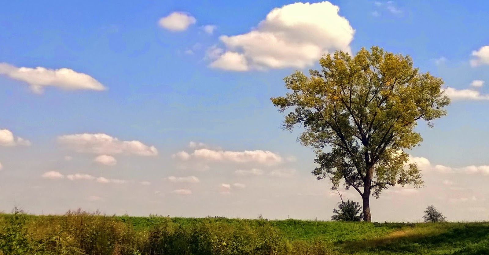 |
| I took this picture before leaving the parking area. It is a nice tree near the Mississippi River levee. |
Although the Mississippi River is sometimes called the Big Muddy, she isn't muddy until after the Missouri River joins her. There has been much debate about why the river south of this junction is called the Mississippi instead of the Missouri. A case can be made for each side. The Missouri starts in the Rocky Mountains and the Mississippi starts in northern Minnesota. I think they should have combined the names somehow because it seems sad that the Missouri ends at the Mississippi River instead of continuing on to the Gulf of Mexico.
The next day I went in search of Daniel Boone. I did not know he had ever lived in Missouri but apparently this is where he spent the last 20 years of his life. He had some legal problems associated with heavy debts due to bad land speculation back in Kentucky so he sent his son west to find a new homeplace. This was in 1800 and once he crossed the Mississippi River he was in country controlled by the Spanish. The Spaniard in charge was more than happy to give land to the Boones because he knew wherever Boone went, people followed. That was the way it was back in 1769 when Boone found the Cumberland Gap through the Alleghany Mountains. Once he blazed that trail, people began flooding into what would become Kentucky.
Boone was 65 years old when he moved his family to Missouri. They settled and farmed the land. Stories are said that even at 65+, Boone wandered on hunting trips as far away as Yellowstone. There isn't hard documentation on this but it is a nice thought. He had been known to travel a lot as he wandered around the country.
Many kids used to wear coonskin caps because of the TV show, Daniel Boone. In the show, Fess Parker, wore a coonskin cap, so of course some company sold them to kids. The real Daniel Boone never wore one. Fess Parker wore it in the TV show because when he played Davey Crockett 10 years earlier, Davey wore one. The TV people sort of blended Davey and Daniel into one person. I enjoyed the TV show, but it would have been better if it was accurate.
Boone is buried alongside a narrow two lane country road. Since his wife died before him and she was buried on some of her family land, he is buried beside her. Her family from Kentucky came and got her body later and reburied it in Kentucky. Kentucky thought they did the same thing to Boone, but there is controversy in some test results saying they dug up and reburied the wrong body. So both states claim to have the burial plot for Boone. This one is a very small place with a parking area that would fit about 4 cars.The stairs leading up to the cemetery begins right on the edge of the road. You better look both ways when you step off that last step.


 |
| The parking area for this monument |
 |
| Boone's headstone |
 |
| The view from the headstone outward |
The road doesn't have much traffic. I was there for about 30 minutes and maybe 5 or 6 vehicles passed. I thought it was kind of sad that a man that had done so much was out in the middle of nowhere, but then I reconsidered and thought of the way he led his life and knew he would like it this way.
Remember, he was buried on some of his wife's family property. About 10 miles away is the home that Boone had built for his family. It is a 3 story stone house that is very large. The state has moved several buildings from around the area that were built in Boone's time onto the property. They are in the process of building a typical village from the early 1800's. It was a nice day to wander around the buildings and grounds. There were very few people there so I was able to visit with the people running the place. It was a nice day.
 |
| Typical road leading to Boone's Homeplace |
 |
| Front of the house |
 |
| Back of the house |
 |
| Some of the old buildings brought to Boone's homeplace to form a village from his time. |
 |
| More buildings |
 |
| More buildings. A dug-out canoe in the lower left. Boone's house is in the middle of the picture back behind the trees |
 |
| Looking at the back of Boone's house. |
Ya'll take care each other. Cya down the road.


